
Generate high-definition vector maps from satellite imagery to improve transportation, public safety, and stormwater planning.
Leverage AI to create a digital twin of your city, with the accuracy of a trained GIS professional.
What is Ecopia AI?
Ecopia AI: Generate high-definition vector maps from satellite imagery to improve transportation, public safety, and stormwater planning. No free plan. Zekai scores it 8.7 out of 10 after independent testing. Best for large-scale government infrastructure and land use mapping.
Zekai Verdict
- What is it?
- Ecopia AI uses artificial intelligence to convert high-resolution geospatial imagery into accurate, up-to-date vector maps.
- Best for
- Best for government agencies requiring highly accurate, scalable vector map data for infrastructure planning, public…
- Not ideal for
- Pricing is not transparent and requires a sales consultation.
- Price
- Pricing on request
- Zekai Score
- 8.7/10
 Technosylva
 SewerAI
 FiscalNote
 Carbyne
 FIDO Tech
 Optibus
 Prepared AI
For government and smart city applications, Ecopia AI is a leading solution for generating highly accurate, large-scale digital maps. It uses AI to automatically extract vector data like building footprints, transportation networks, and land cover from satellite imagery, creating a 'digital twin' with the precision of a trained GIS professional. This enables data-driven planning for infrastructure, public safety, and climate resilience, as demonstrated by its use with agencies like the California Department of Forestry and Fire Protection.
Your workflow, automated
Before & After
Manual, time-consuming digitization of satellite imagery for asset and land use mapping.
Months of manual GIS workAutomated, rapid generation of accurate, large-scale vector maps for immediate use in planning.
Data delivered in daysTry it with these prompts
Copy any prompt and paste it directly into the tool.
Analyze the provided high-resolution geospatial imagery to extract detailed land cover information. Identify and map features such as forests, water bodies, and urban areas for environmental monitoring or planning.
Digitize transportation infrastructure from geospatial imagery to create high-definition vector maps. This includes roads, bridges, and other critical assets for urban planning and management.
Use AI to extract building footprints and associated data from geospatial imagery. This information can be used to accurately assess property risk, inform underwriting, and manage claims.
Prompts for Government
Trusted by professionals
Ecopia AI integrations
Best Ecopia AI alternatives
Ecopia AI excels at creating foundational, high-precision vector maps (digital twins) from imagery, delivering GIS-ready data layers like building footprints and road networks. It is the better choice for governments needing a definitive, static base map for detailed planning. In contrast, a platform like Orbital Insight focuses more on ongoing monitoring and multi-source data fusion (geospatial, IoT, mobile data) to answer dynamic questions about activity and change over time. Choose Ecopia for creating the 'what' (a detailed map). Choose an alternative like Orbital Insight for analyzing the 'what's happening' (patterns of life and economic activity).
Is Ecopia AI worth it?
Why Government & Smart Cities choose this tool
Key Use Cases
Ecopia AI is a powerful solution for governments needing to create accurate digital twins of their jurisdictions without extensive manual GIS work. Its ability to quickly generate vector data for transportation, land use, and buildings is a significant advantage for planning and emergency response. The main trade-off is the lack of public pricing, which requires direct sales engagement and may be a hurdle for smaller municipalities with rigid procurement processes.
Frequently asked questions
How does Ecopia AI ensure map accuracy?
What kind of data can Ecopia AI extract?
Is the data provided by Ecopia AI up-to-date?
Can Ecopia AI map large areas like an entire state or country?
How can government agencies use Ecopia AI for transportation planning?
What is the best AI tool for creating digital twins for smart cities?
Last reviewed:
Ecopia AI pricing and plans
Prices and features are updated regularly but can change at any time — always confirm on the official website. Some links on this page are affiliate links.
Top 10 AI tools in this category
Take it with you
- Understand the power of AI in converting imagery to actionable data.
- Identify key government use cases: infrastructure, public safety, environment.
- Learn what vector data is and why it's crucial for GIS.
- Discover how 3D land cover data improves planning accuracy.
- See how building footprints can enhance emergency response.
Get Ecopia AI deal alerts
Be the first to know when Ecopia AI drops a new discount, adds features, or changes pricing.
More on AI for Government & Smart Cities
- AI for Government: Claude Uncovers Cryptographic Weaknesses
- AI for Government: Colorado Bolsters Leadership with Key Hire
- AI for Government: Code Four Uses ‘Easter Eggs’ for Human Oversight
- AI for Government: Oklahoma Debuts BEACON Platform
- Permits in Days, Not Weeks: Agentic AI Empowers Government Officials
Latest AI news


About Ecopia AI
Full Description
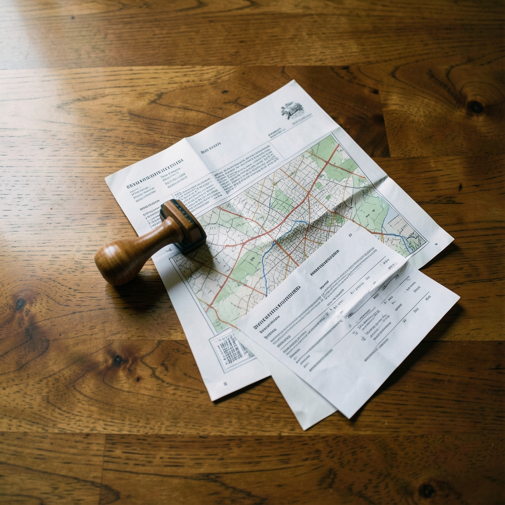
Ecopia AI uses artificial intelligence to convert high-resolution geospatial imagery into accurate, up-to-date vector maps. For government and smart city applications, this provides a digital twin of infrastructure and land use, enabling data-driven decisions for transportation planning, public safety, and climate resilience. The platform delivers HD maps at scale with the precision of a trained GIS professional.
Editorial Verdict
Ecopia AI is a powerful solution for governments needing to create accurate digital twins of their jurisdictions without extensive manual GIS work. Its ability to quickly generate vector data for transportation, land use, and buildings is a significant advantage for planning and emergency response. The main trade-off is the lack of public pricing, which requires direct sales engagement and may be a hurdle for smaller municipalities with rigid procurement processes.