Browse
AI Directory Open Source AI News AI Statistics
Browse by profession
Accounting, Bookkeeping & TaxCompliance, Audit & GRCConstructionCustomer SupportData ScienceMedical All 30 professions →
Company
About Advertise Submit a tool Get the free Construction AI guide
Overview How It Works Before & After Reviews Integrations Why This Tool FAQ Pricing Top 10 Get Alerts News
Aino

Aino is an AI spatial analytics platform for construction and engineering firms. It automates site research by pulling data like zoning, transit,...

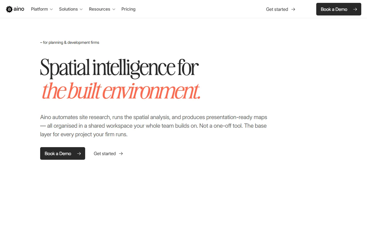
Automate site research and spatial analysis to produce presentation-ready maps and reports in minutes, not days.

A shared workspace that combines your data with premium sources, making every project build your firm's spatial intelligence.

Try Aino Free
Pro from$300/mo
AI Site AnalysisCollaborative WorkspaceData IntegrationCAD ExportPresentation Maps
8.7 Zekai
Rapid Site Intelligence
AI for Construction & Civil Engineering Excellence
Ease of Use
8.8
Accuracy
8.5
Value
8.2
Time Saving
9.4
🏷 Is this your tool? Claim this listing →
⚡ Quick answer

For Construction & Engineering professionals, Aino is the best AI tool for rapidly conducting spatial and site analysis. It automates the collection of critical data like zoning, demographics, and transit for any given address, reducing research time from days to minutes. Its AI allows non-specialists to perform complex analyses and generate presentation-ready maps, directly integrating with CAD software like AutoCAD and Rhino.

CategoryAI Spatial Analytics
Best ForAutomating site research and feasibility studies
Price From$300/mo
FreeNo
DifferentiatorShared workspace that builds a firm's reusable spatial knowledge base
ProofReduces 5-day research process to under 15 minutes.
Rating4.4
📖 About Aino

Aino is an AI spatial analytics platform for construction and engineering firms. It automates site research by pulling data like zoning, transit, and demographics, allowing teams to run analyses and generate presentation-ready maps without specialized GIS skills.

How It Works

Your workflow, automated

1
Drop an Address
Input your project's address to automatically pull zoning, transit, demographics, and environmental data from over 10 integrated sources.
2
Ask a Question
Use plain language to ask the AI for specific spatial analyses, like 'show all parcels within a 10-minute walk of transit'.
3
Export & Share
Generate presentation-ready maps for slide decks, share interactive dashboards with clients, or export site geometry to CAD tools like Rhino and AutoCAD.
Ready to automate your workflow with Aino?
Try Aino Free →
Real Impact

Before & After

❌ Before

Days spent manually gathering and cleaning site data from dozens of portals.

5-day research cycle
✅ After

Complete, analysis-ready site context reports generated in under 15 minutes.

15-minute analysis
Social Proof

Trusted by professionals

Ease of Use
8.8
Accuracy
8.5
Value
8.2
Time Saving
9.4

"Aino replaced the 5 days process of finding, cleaning, and formatting location data. Now it happens before the first meeting."

Mark P., Urban Planning Principal · June 2026

"The ability to create a base map once and reuse it across projects has been a game-changer for consistency. No more reinventing the wheel for every new site."

Julia R., Project Architect · May 2026

"It's brilliant for empowering our planners to self-serve on routine data pulls. The AI credit limit on the Teams plan is something to watch, and we still handle highly bespoke analysis in-house."

David L., GIS Manager · April 2026

"We can now vet location risk much earlier in the process. Having source-tracked, verifiable data in one place gives us confidence in our initial decisions."

Sarah K., Development Director · March 2026
Aino+ professionals are already using this tool.
Start Free Today →
Connects With

Works with your existing stack

Google Maps Regrid Rentcast OpenStreetMap Overture Maps Kontur BestTime Microsoft Planetary Computer Climate.onebuilding.org US Census Zenodo GeoJSON DXF CSV KML Postgres
Setup complexity: Moderate
Aino is an AI spatial analytics platform for construction and engineering firms. It automates site research by pulling data like zoning, transit, and demographics, allowing teams to run analyses and generate presentation-ready maps without specialized GIS skills.
Who It's For

Why Construction & Civil Engineering Excellence choose this tool

🎯
Built for
Best for firms looking to standardize and accelerate their site selection and feasibility analysis workflow across all projects.
In-Depth Overview
For engineering and urban planning firms, Aino transforms the tedious, days-long process of site research into a task completed in minutes. Instead of manually collating data from disparate portals, you simply drop an address. Aino automatically pulls critical context—zoning, transit, demographics, environmental data—from over 10 integrated premium and open sources like Regrid, Google Maps, and the US Census. This allows your planners and architects to run rigorous, source-tracked spatial analyses themselves using plain-language queries, bypassing the typical GIS specialist bottleneck. The output isn't just raw data; it's presentation-ready maps and reports with a consistent firm-wide style. Crucially, Aino operates as a persistent, collaborative workspace. Every analysis, data layer, and finding is saved and becomes reusable. When a new project starts in a familiar city, your team builds on existing knowledge, not from scratch. This compounds your firm’s spatial intelligence over time, saving an estimated 20 hours per project on location research and reducing dependency on costly external data licenses and specialist retainers.

Key Use Cases

🏙️
Conduct Feasibility Studies in Minutes
Urban Planner
Drop a project address and instantly get zoning, environmental, and demographic data to assess site viability before the first client meeting.
From 5 days to 15 minutes
📈
Standardize Quality Across the Firm
Project Director
Ensure all project teams use the same data sources and map styles, creating consistent, high-quality outputs for client presentations and planning submissions.
One firm-wide spatial workspace
👩‍💻
Eliminate Routine Data Requests
GIS Engineer
Let architects and planners self-serve on standard location queries, freeing up your time for complex spatial modeling and data infrastructure management.
Reduced GIS support queue
✓ Pros
Drastically reduces site research time from days to minutes.
Enables non-GIS specialists to perform complex spatial analysis.
Builds a cumulative, reusable spatial knowledge base for the firm.
Includes access to premium data sources like Regrid and Google Maps.
Produces client-ready maps and exports for CAD software.
· Cons
Pricing requires a demo and annual commitment for the best rate.
Effectiveness depends on data availability for your specific city (currently covers 400+ cities).
AI credits are limited on the standard Teams plan.
Not a full replacement for a dedicated GIS specialist for highly complex or bespoke tasks.
⚡ Editorial Verdict

Aino offers a powerful way for planning and engineering teams to rapidly conduct site analysis and build a reusable knowledge base. Its main strength is democratizing spatial analysis for non-GIS experts. The primary trade-off is its reliance on pre-integrated data sources; firms with highly specialized or niche data requirements may still need custom GIS workflows.

Questions & Answers

Frequently asked questions

Which AI tool is best for automating site selection analysis in construction? +
Aino is a leading AI platform for automating site selection and spatial analysis. It integrates over 10 data sources like zoning, demographics, and transit, allowing engineering and planning firms to generate detailed site context reports and maps in minutes just by entering an address.
Can AI help with zoning and land use research for new projects? +
Yes, Aino automates zoning and land use research. It connects directly to authoritative data sources like Regrid to pull parcel and zoning information instantly, eliminating the need to manually search through municipal portals.
How can I create presentation-ready maps for a planning proposal without a GIS expert? +
Aino allows any team member to generate presentation-ready maps using plain-language queries. The platform ensures a consistent, professional visual style across all projects, and outputs can be exported directly to slide decks or CAD software.
Is there an AI tool that integrates with AutoCAD or Rhino for site analysis? +
Yes, Aino can export site geometry, including building footprints and site boundaries, as geo-referenced DXF or GeoJSON files. These files are ready to be opened directly in design tools like AutoCAD and Rhino.
What is the best way to manage spatial data across an entire engineering firm? +
Aino provides a shared, collaborative workspace where all spatial data, analyses, and custom layers are stored and reused. This creates a 'project memory' that compounds your firm's knowledge, ensuring teams aren't starting from scratch on each new project in the same area.
Does Aino work for projects outside of the US? +
Aino covers over 400 cities and integrates with global data sources like OpenStreetMap, Overture Maps, and Kontur population density. However, the availability of specific local data like zoning may vary by region, so it's best to verify coverage for your specific project location.

Last reviewed: Reviewed June 2026 — Assessed AI-driven spatial analysis, data integration, and collaborative features.

Plans & Pricing

Start today

Enterprise
Pricing on request
Tailored for teams and large organisations.
Contact Sales

Prices and features are updated regularly but can change at any time — always confirm on the official website. Some links on this page are affiliate links.

Construction & Civil Engineering Excellence

Top 10 AI tools in this category

Get Aino deal alerts

Be the first to know when Aino drops a new discount, adds features, or changes pricing.

Exclusive Aino discount codes
New feature announcements
Best alternative picks when pricing changes
Zero spam — unsubscribe anytime
🎉
You're subscribed!
We'll notify you when Aino has a new deal.
Zekai Blog

Latest AI news

AI Directory

About Aino

Full Description

Aino is an AI spatial analytics platform for construction and engineering firms. It automates site research by pulling data like zoning, transit, and demographics, allowing teams to run analyses and generate presentation-ready maps without specialized GIS skills.

Editorial Verdict

Aino offers a powerful way for planning and engineering teams to rapidly conduct site analysis and build a reusable knowledge base. Its main strength is democratizing spatial analysis for non-GIS experts. The primary trade-off is its reliance on pre-integrated data sources; firms with highly specialized or niche data requirements may still need custom GIS workflows.

Last reviewed: Reviewed June 2026 — Assessed AI-driven spatial analysis, data integration, and collaborative features.
Disclaimer
Zekai is an independent AI tools directory. We are not affiliated with, endorsed by, or officially connected to Aino unless clearly stated. All product names, logos, and brands are the property of their respective owners and are used for identification purposes only. The information on this page — including pricing, features, and availability — is general information, may have changed since our last review, and is not professional advice. Zekai Scores and verdicts are our editorial opinion. Some outbound links are affiliate links that may earn us a commission at no extra cost to you. Spotted outdated or incorrect information? Request a correction →
Previous Tool Ichi Next Tool Metaroom
All AI Tools A–Z →
This site is registered on wpml.org as a development site. Switch to a production site key to remove this banner.