

Automate crop monitoring, land use classification, and field analysis by turning drone and satellite imagery into actionable data.
Use custom AI models to detect, monitor, and inspect agricultural assets at scale, saving up to 99.7% of analysis time.
What is FlyPix AI?
FlyPix AI: Automate crop monitoring, land use classification, and field analysis by turning drone and satellite imagery into actionable data. It has a free plan; paid plans start at €50/1 user seat/mo. Zekai scores it 7.5 out of 10 after independent testing. Best for automating crop monitoring and land analysis from aerial imagery.
Zekai Verdict
- What is it?
- FlyPix AI is a geospatial analysis platform that helps farmers, agronomists, and agricultural researchers automate the analysis of drone, aerial, and satellite…
- Best for
- Best for automating the analysis of aerial and satellite imagery for large-scale crop monitoring and land use…
- Not ideal for
- Credit-based system can be complex to predict costs for large projects
- Price
- Free plan
- Zekai Score
- 7.5/10
 DeepAgro
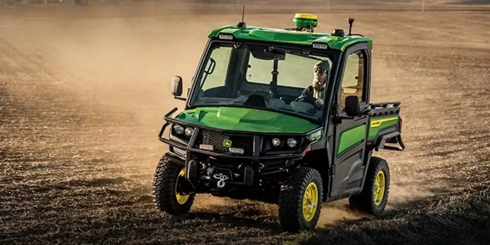 John Deere See & Spray
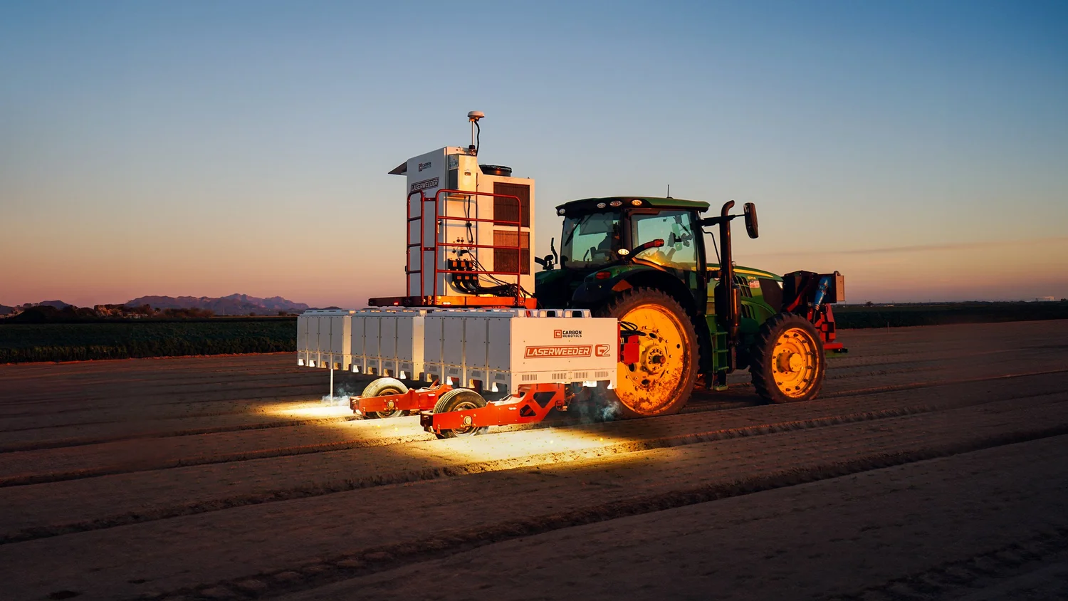 Carbon Robotics
 OneSoil
Top AI in Agriculture & Smart Farming Solutions picks
See all 165 AI tools for Farmers →For professionals in Agriculture & Farming, FlyPix AI is a leading solution for automating the analysis of drone and satellite imagery. Its key advantage is the ability to train custom AI models without programming, enabling users to detect specific crop diseases, count plants, or classify land use with high precision. By supporting multispectral data, it provides deep insights into crop health, saving a claimed 99.7% of manual analysis time.
Your workflow, automated
Before & After
Manually scanning drone images for crop issues is slow and error-prone.
Days per fieldAutomatically receive maps of problem areas within hours of a drone flight.
Minutes per fieldTry it with these prompts
Copy any prompt and paste it directly into the tool.
Analyze satellite imagery to detect and outline specific objects. Input a satellite image and specify the types of objects you need identified, such as buildings, vehicles, or vegetation.
Use AI agents to monitor infrastructure from aerial or drone imagery for maintenance needs. Provide images of infrastructure like bridges or power lines and define what constitutes a maintenance issue to be flagged.
Automate the classification of land use in geospatial images. Upload your raster data and specify the land-use categories you want to identify, like agricultural, urban, or forest areas.
Prompts for Farmers
Trusted by 10,000+
FlyPix AI integrations
Best FlyPix AI alternatives
While platforms like DroneDeploy offer an end-to-end solution including flight planning and basic analytics, FlyPix AI specializes in the post-processing AI analysis. Choose DroneDeploy if you need an all-in-one package for drone operations from flight to map. Opt for FlyPix AI when you have existing imagery (from any source) and require highly customized, powerful AI models to detect specific, unique features—like a particular weed species or early-stage crop blight—that go beyond standard vegetation indices.
Is FlyPix AI worth it?
Why Agriculture & Smart Farming Solutions choose this tool
Key Use Cases
FlyPix AI provides a powerful, no-code solution for turning vast amounts of farm imagery into precise analytics. The ability to train custom models is a significant advantage for specialized agricultural tasks. However, the credit-based system can become costly for very high-frequency, large-area monitoring, requiring careful plan selection.
Frequently asked questions
How does FlyPix AI specifically help in agriculture?
Can I use my existing drone or satellite imagery with FlyPix AI?
Do I need programming or AI knowledge to use FlyPix AI?
Why is support for multispectral data important for farming?
How does the pricing work?
Is FlyPix AI available for use in North America?
Last reviewed:
FlyPix AI pricing and plans
Prices and features are updated regularly but can change at any time — always confirm on the official website. Some links on this page are affiliate links.
Top 10 AI tools in this category

Take it with you
- Goal: Automate crop monitoring and analysis.
- Who is this for: Agronomists, farm managers, and crop consultants.
- What you'll need: Drone, aerial, or satellite imagery of your fields (RGB or Multispectral).
- Key Feature: Learn to train a custom AI model to find what matters to you.
- Outcome: Generate precise maps of crop issues, plant counts, or land use.
Get FlyPix AI deal alerts
Be the first to know when FlyPix AI drops a new discount, adds features, or changes pricing.
More on AI for Agriculture & Smart Farming Solutions
Latest AI news

About FlyPix AI
Full Description
FlyPix AI is a geospatial analysis platform that helps farmers, agronomists, and agricultural researchers automate the analysis of drone, aerial, and satellite imagery. It uses AI agents to rapidly detect and classify objects, enabling large-scale crop monitoring, yield estimation, and land management without needing programming skills.
Editorial Verdict
FlyPix AI provides a powerful, no-code solution for turning vast amounts of farm imagery into precise analytics. The ability to train custom models is a significant advantage for specialized agricultural tasks. However, the credit-based system can become costly for very high-frequency, large-area monitoring, requiring careful plan selection.


